
Station maps: how to choose the right spot for charging
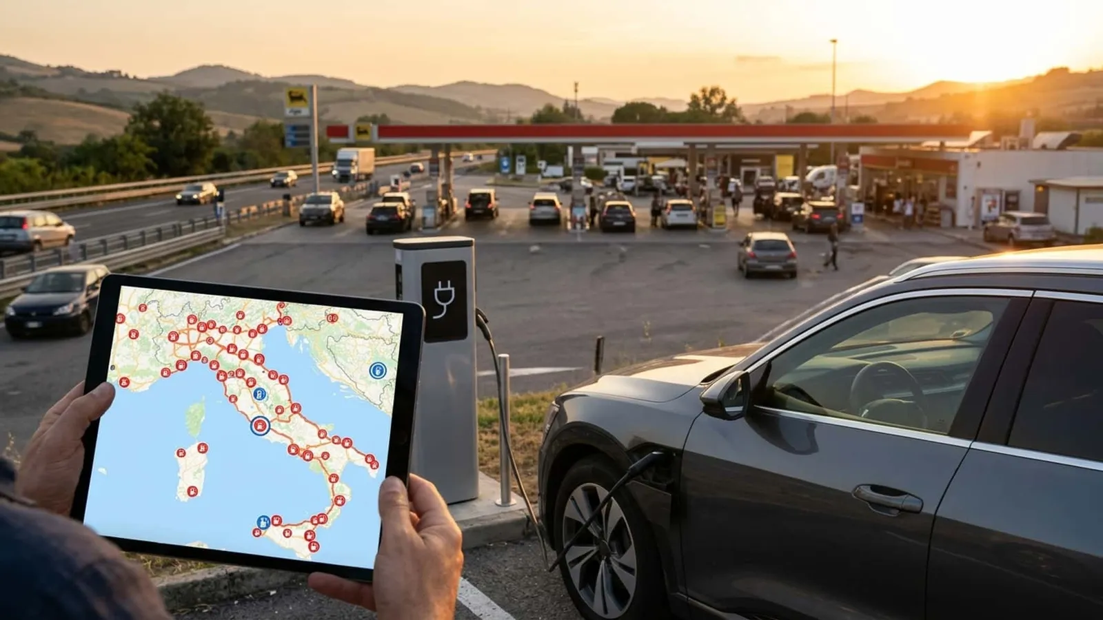
Dozens of dots on a map don’t indicate whether charging will succeed. It’s necessary to understand what those symbols mean: location, power output, connector type, and real-time availability all affect the success of a charging session.
In the European Union, the total capacity of public charging infrastructure reached approximately 41.6 GW by June 2026. Public charging stations increased by about 21% year-on-year, reaching around 195,000 by May. In the same context, as of the second quarter of 2026, Italy ranks among countries with the widest gap between charging stations and traditional gasoline and diesel fuel dispensers.
How to choose a charging station from the map
The first thing to consider is not the nearest charging station, but the most reliable one for the type of trip being undertaken. A station in the city center is suitable for a short stop while shopping. For longer journeys, however, a station designed for fast charging is needed, located along major roads.
In Italy, the connection between the map and the road network is not just graphical. The guidelines of PNRR (the National Plan for Recovery and Resilience) and technical regulations tie some of the new installations to major roads, with accessibility requirements that minimize deviations from the route. This criterion is also useful when reading the map: the closer the charging station is to the route’s axis, the less time is wasted traveling to it.
Not all maps convey the same information in the same way. Some only show location, while others include real-time status and the price per kilowatt hour. It’s worth comparing multiple sources, as illustrated by those who traveled across Italy using electric vehicles by relying on a dedicated charging network. Alternatively, observe how public maps are changing in major urban centers, following the model tested in San Francisco.
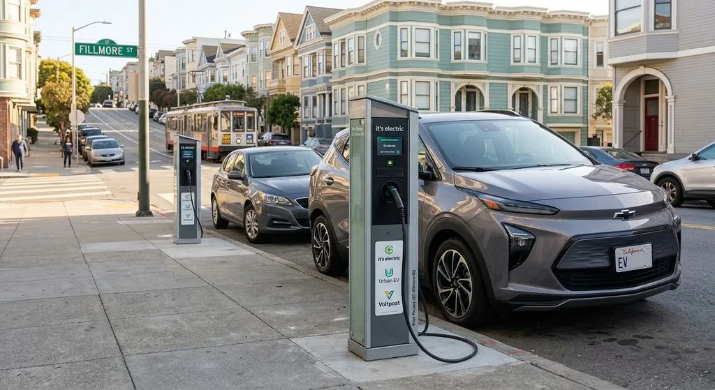
San Francisco aims to have 100 charging stations on sidewalks by 2030, following tests started in 2025.
Photo by: Motor1 Italia visual (AI-assisted)
Power, connectors, and availability: what to check
The power indicated on the map, expressed in kW, shows how quickly the battery can be charged. Above 50 kW, it is considered fast charging, with times of half an hour or less to restore most of the range. Below that threshold, it is slow or semi-fast charging, more suitable for longer stops.
The connector is equally important. In Europe, the standard for fast DC charging has been CCS Combo 2 for years. For AC charging at lower power levels at public charging stations, Type 2 remains the standard. On the map, it’s advisable to check that the connector symbol matches that of the car.
Real-time availability is the most unreliable data. A station marked as available may turn out to be occupied or malfunctioning upon arrival, as not all maps are updated at the same frequency. Even major service providers are working to make this information more reliable, as shown by the integration of Tesla Superchargers into general maps.
Before setting out, it’s also advisable to check how payment works, as not all charging stations accept the same method. Some require an app or subscription. Others allow direct payment with a credit card at the time of charging. The geographical distribution remains uneven: according to the ACEA Pocket Guide 2026 and national analyses, 73,047 public charging points were installed in Italy as of December 31, 2025. Differences between regions and provinces remain significant, and it is precisely this that a map alone, without these reference criteria, fails to highlight.
Read also