
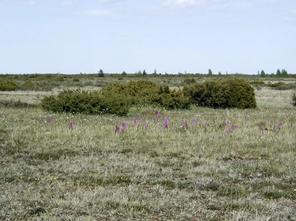
Oland and the Alvar
Eight days of a limestone island: Kalmar bridge, Borgholm, Stora Alvaret, Ottenby, Byxelkrok. Tesla in Kalmar; the alvar eats range in wind.
Season: Year-round. Alvar orchids typically May-June. Ottenby birds in spring and autumn. Borgholm castle year-round. Wind on the alvar is serious.
Eight days of a limestone island: Kalmar bridge, Borgholm, Stora Alvaret, Ottenby, Byxelkrok. Tesla in Kalmar; the alvar eats range in wind.
Day by day
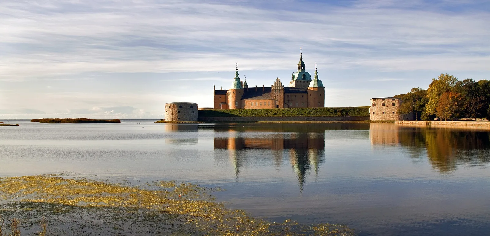
Kalmar
The castle already in the water. Overnight Tesla.
Why stop hereCharge nearby: Tesla Supercharger (Tesla Supercharger Kalmar) — typical arrival 28%, about 22 min to 80%. Why stop here: Kalmar. Access: walk from the overnight — leave the car.
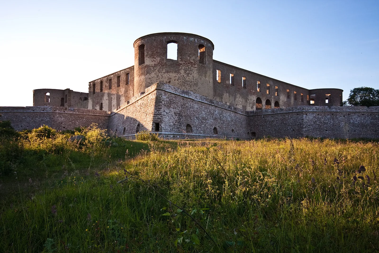
Borgholm
A ruin that holds the evening. Destination charger.
Why stop hereWhy stop here: Borgholm. Access: walk from the overnight — leave the car.
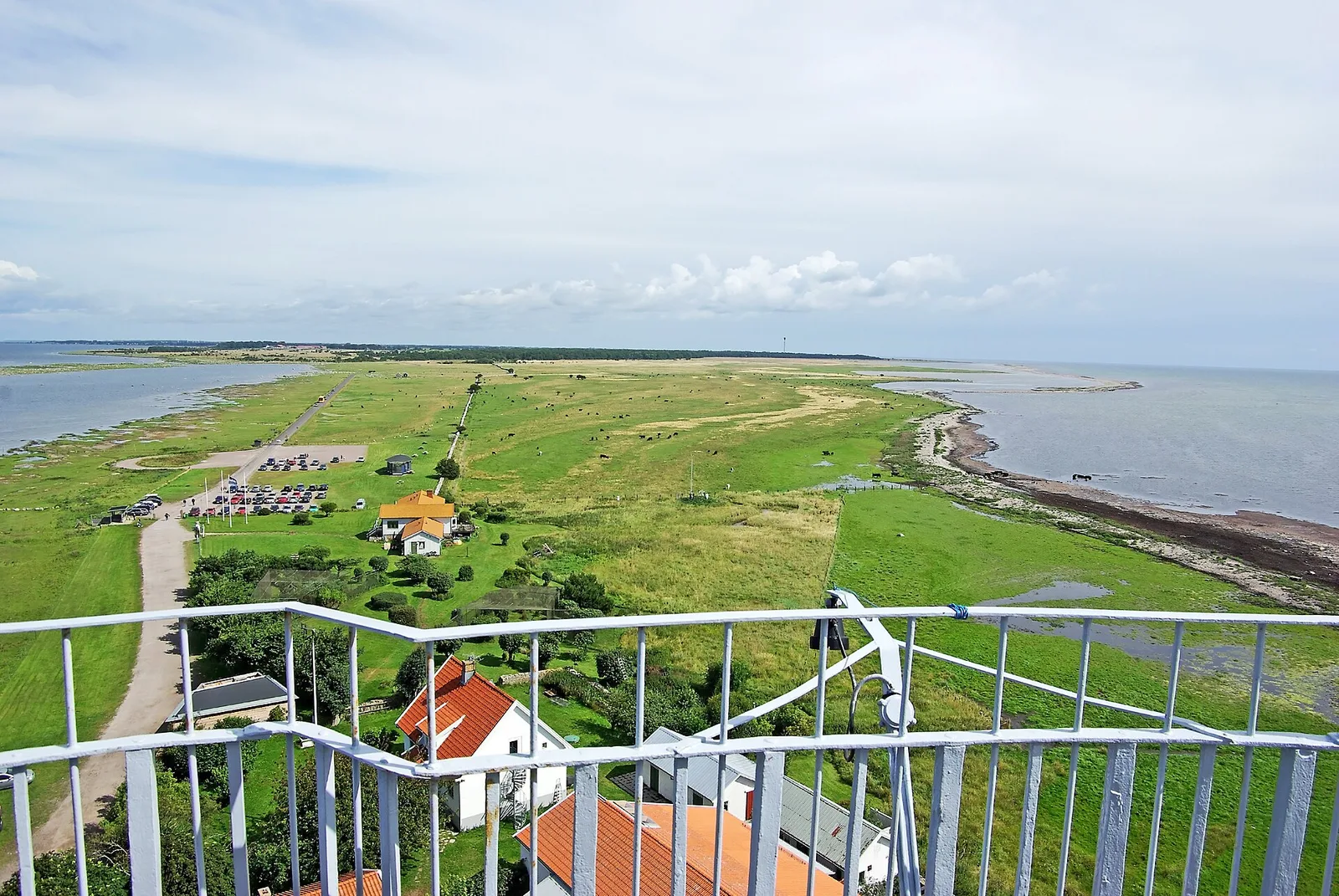
Ottenby
Birds at the south point. Charge after 22 percent.
Why stop hereWhy stop here: Ottenby. Access: walk from the overnight — leave the car.
Byxelkrok
A quiet harbour. A quiet night.
Why stop hereWhy stop here: Byxelkrok. Access: walk from the overnight — leave the car.
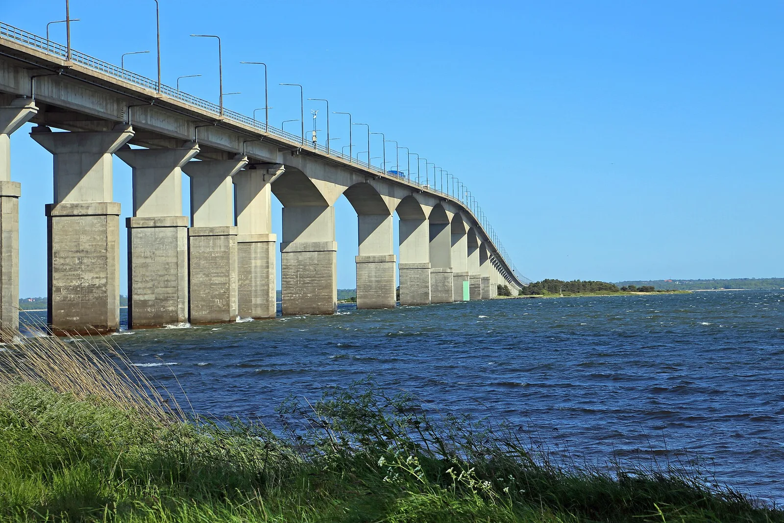
Kalmar
Last Tesla. The alvar is still in the rear-view.
Why stop hereCharge nearby: Tesla Supercharger (Tesla Supercharger Kalmar) — typical arrival 28%, about 22 min to 80%. Why stop here: Kalmar. Access: walk from the overnight — leave the car.
Quiet charging pauses
- Tesla Supercharger in Kalmar — a calm stop on this leg, about 22 min.